


Rand McNally Easy to Read: Arkansas State Map
ADVERTISEMENT
Compare Buying Options
- 9.99Barnes & Noble
Arkansas Easy to Read; Other Format; Author - Rand McNally
Delivery date & cost shown at checkout
- 10.06Walmart
Arkansas Easy TO Read
Delivery date & cost shown at checkout
- 9.99Walmart
Rand McNally Easy to Read: Arkansas State Map, (Paperback)
Delivery date & cost shown at checkout
- 13.88Walmart
used Pre-owned Arkansas State Map (Rand McNally Easy to Read!) Paperback
Delivery date & cost shown at checkout
- 24.95eBay
Rand Mcnally Easy To Read: Arkansas State Map By Rand Mcnally
Delivery date & cost shown at checkout
- 27.96eBay
Rand Mcnally Easy To Read: Arkansas State Map By Rand Mcnally Folded
Delivery date & cost shown at checkout
- 12.96AbeBooks.com
Rand McNally Easy to Read: Arkansas State Map
Delivery date & cost shown at checkout
- 9.99Rand McNally Publishing
Easy To Read: Arkansas State Map
Delivery date & cost shown at checkout
- 14.95AmericanBookWarehouse
Rand McNally Easy To Read: Arkansas State Map by Rand McNally
Delivery date & cost shown at checkout
- 9.99Amazon.com
Rand McNally Easy to Read: Arkansas State Map
Delivery date & cost shown at checkout
Product Details
Popular Products
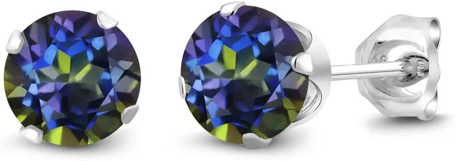
Gem Stone King 925 Sterling Silver Round 6MM Gemstone Birthstone Stud Earrings For Women Men
$33.99
Compare at 53 stores
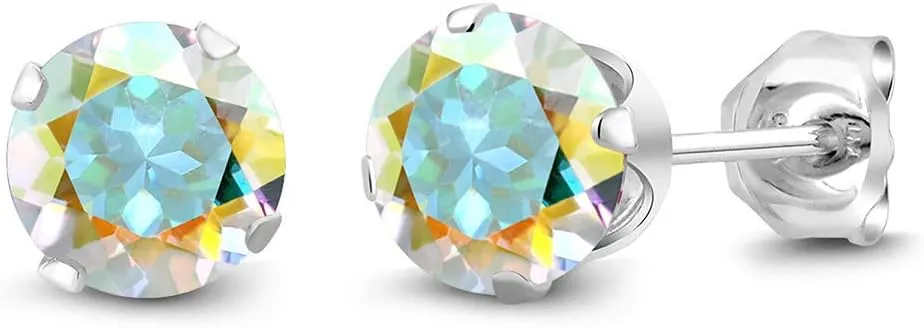
Gem Stone King 925 Sterling Silver Round 6MM Gemstone Birthstone Stud Earrings For Women Men
$44.95
Compare at 50 stores

8MM Natural Gemstone Round Bead Ball Stud Earrings .925 Sterling Silver for Women Teens -Variety of Birthstones
$15.99
Compare at 49 stores

Natural Stone Stud Earrings for Women 8mm Sterling Silver Genuine Gemstone Earrings Handmade Sterling Silver Crystal Stud Earrings for Women
$9.99
Compare at 49 stores
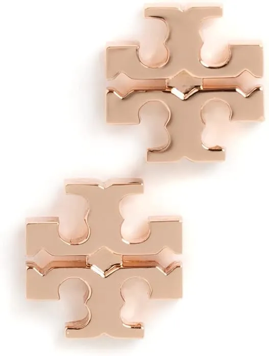
Tory Burch Women's Kira Stud Earrings
$78
Compare at 45 stores